Kauri dieback monitoring extended
Auckland Council surveys public land to monitor kauri dieback disease and for the first time will be extending its approach to include healthy trees in its studies.
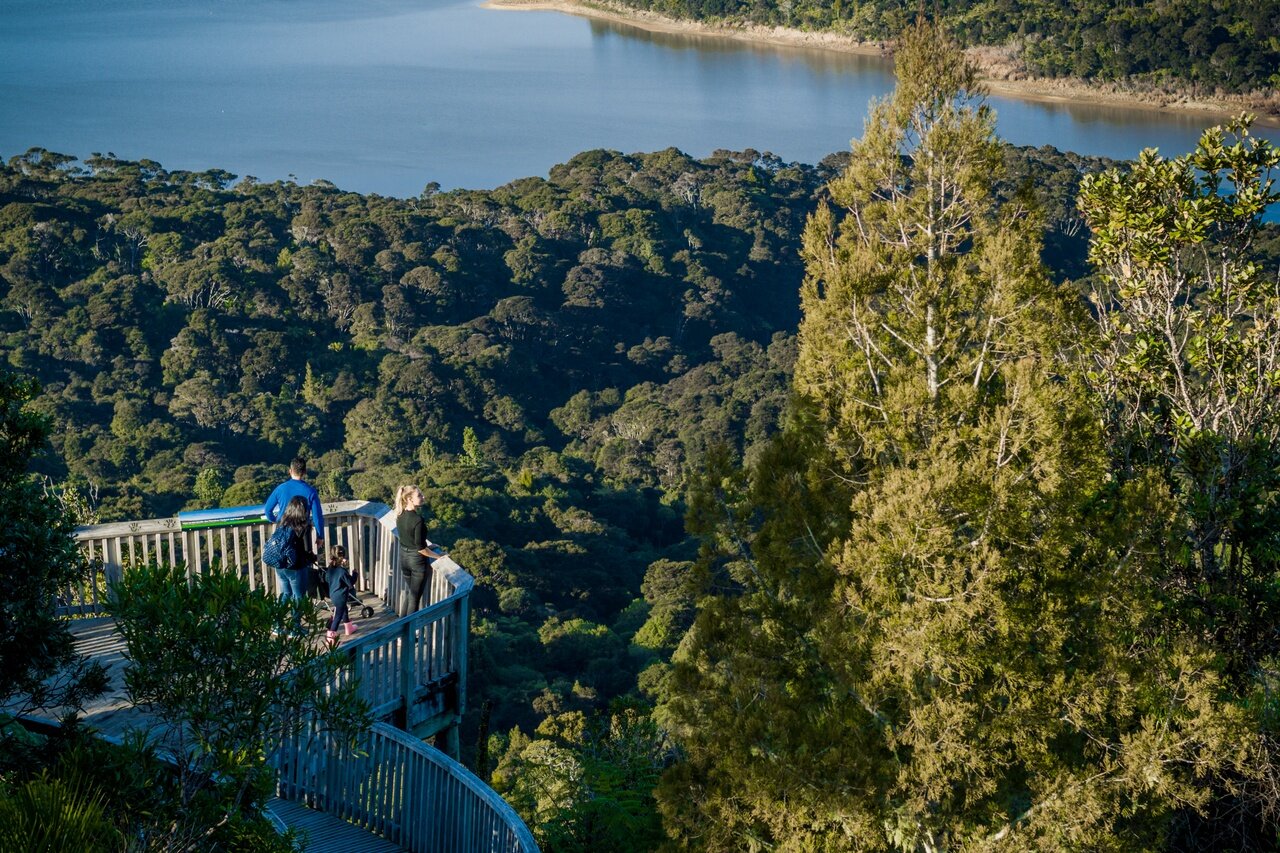
The latest kauri monitoring and surveillance programme has begun in the Waitākere Ranges with teams setting out to understand how the disease is impacting individual trees and the wider kauri population.
Auckland Council’s monitoring of kauri dieback disease for the first time will extend to include healthy trees.
Lisa Tolich, Auckland Council Team Manager- Kauri Dieback, says new remote sensing technology means that over the past few years, the council has been able to get a good estimate on how many individual kauri trees are in the ranges, and from that, draw a sample of trees to survey.
“The trees have been randomly selected from the overall population so field teams don’t know going in whether they’ll be assessing healthy or diseased trees.
“This is important because it means we can build a picture of what’s happening across the entire population – not just the areas where we know the pathogen is already present.”
The data collected will allow the council staff to identify risks associated with the locations the kauri are in, the environment around them, and any other factors – like changing climate – that might be impacting tree health.
The council is setting out to understand how the disease is impacting individual trees and the wider kauri population.
The council is using a multi-phased method and has worked extensively with mana whenua and scientists to design, review and finalise the enhanced survey.
“First, we worked with a team from Manaaki Whenua Landcare Research who analysed satellite imagery,” says Tolich.
“They analysed the imagery with remote sensing technology that was programmed with around 60 unique identifying factors to help determine what trees in the forest are kauri – as opposed to puriri, for example. This included looking at the height of the tree and the structure of the canopy.
“This process enabled the Manaaki Whenua team to generate a total population count of kauri in the Waitākere Ranges Regional Park. They then randomly selected 3500 trees for the council to use in the field survey, independent of their proximity to the track network and of their health status.
The Council carries out five-year monitoring and surveillance studies of kauri on public land across the Auckland region.
“Now, field crews are going out to collect data from the sample population to monitor disease symptomology, pathogen presence and set a baseline for us to assess the impacts of our disease control measures.”
Tolich adds that local Waitākere iwi, Te Kawerau ā Maki, have collaborated with the council throughout the process including working alongside the council to ensure access to the ngahere (forest) needed for the survey respects the rahui that remains in place.
Council carries out five-year monitoring and surveillance studies of kauri on public land across the region – including local parks , the Waitākere and Hunua Ranges, Aotea / Great Barrier and Waiheke Island.
The current Waitākere Ranges study marks the start of a new cycle of surveillance and monitoring for the region and this is the first location to use the enhanced methodology.
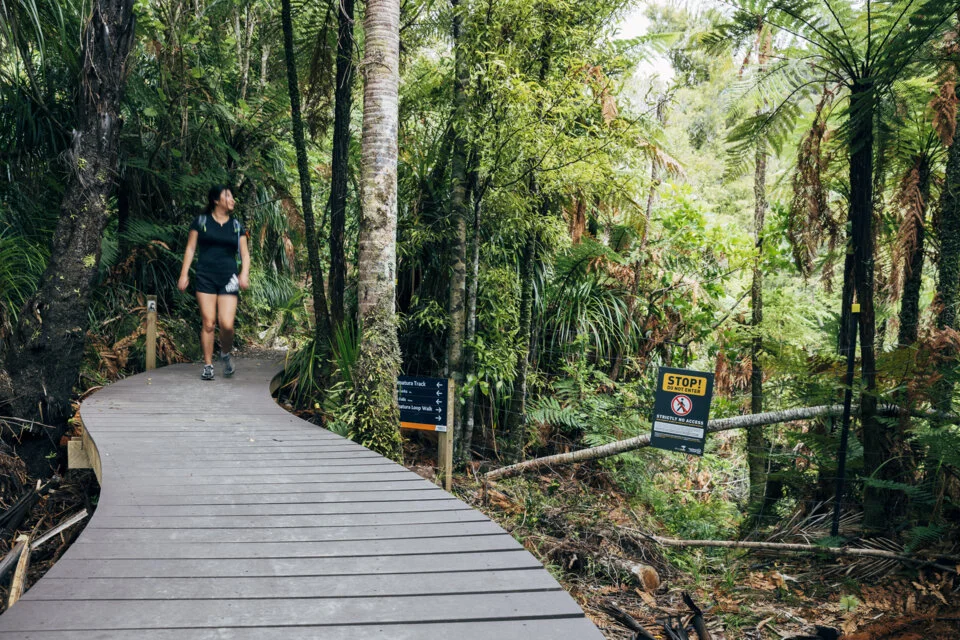
Previous surveillance studies used aerial surveys conducted from helicopter or plane flyovers to identify unhealthy kauri canopies. Teams would follow up on the ground to check any points of interest and take soil samples to test if the pathogen was present.
The new remote sensing technology means instead of identifying sick kauri canopies from the air and following up on pre-selected spots, the teams are now looking at the health of all the trees across the park.
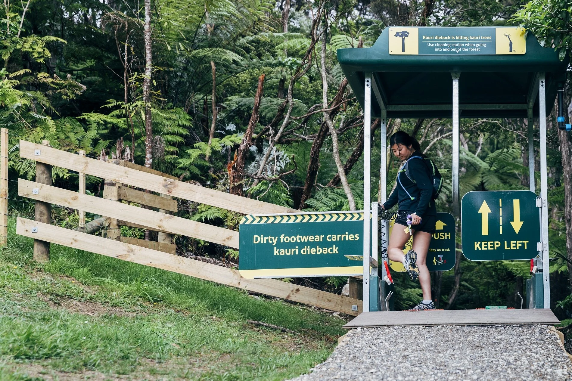
“Up until now we’ve been focused on monitoring where the pathogen is and putting in place measures to stop its spread, like upgrading walking tracks and installing hygiene stations –similar to how we wear masks, wash our hands and keep our distance to help stop the spread of COVID.
“Now, we are trying to understand more about the disease itself and its impact on kauri at an individual level and a forest-wide level over time,” says Tolich.