New tool highlights the climate emergency in Aotearoa
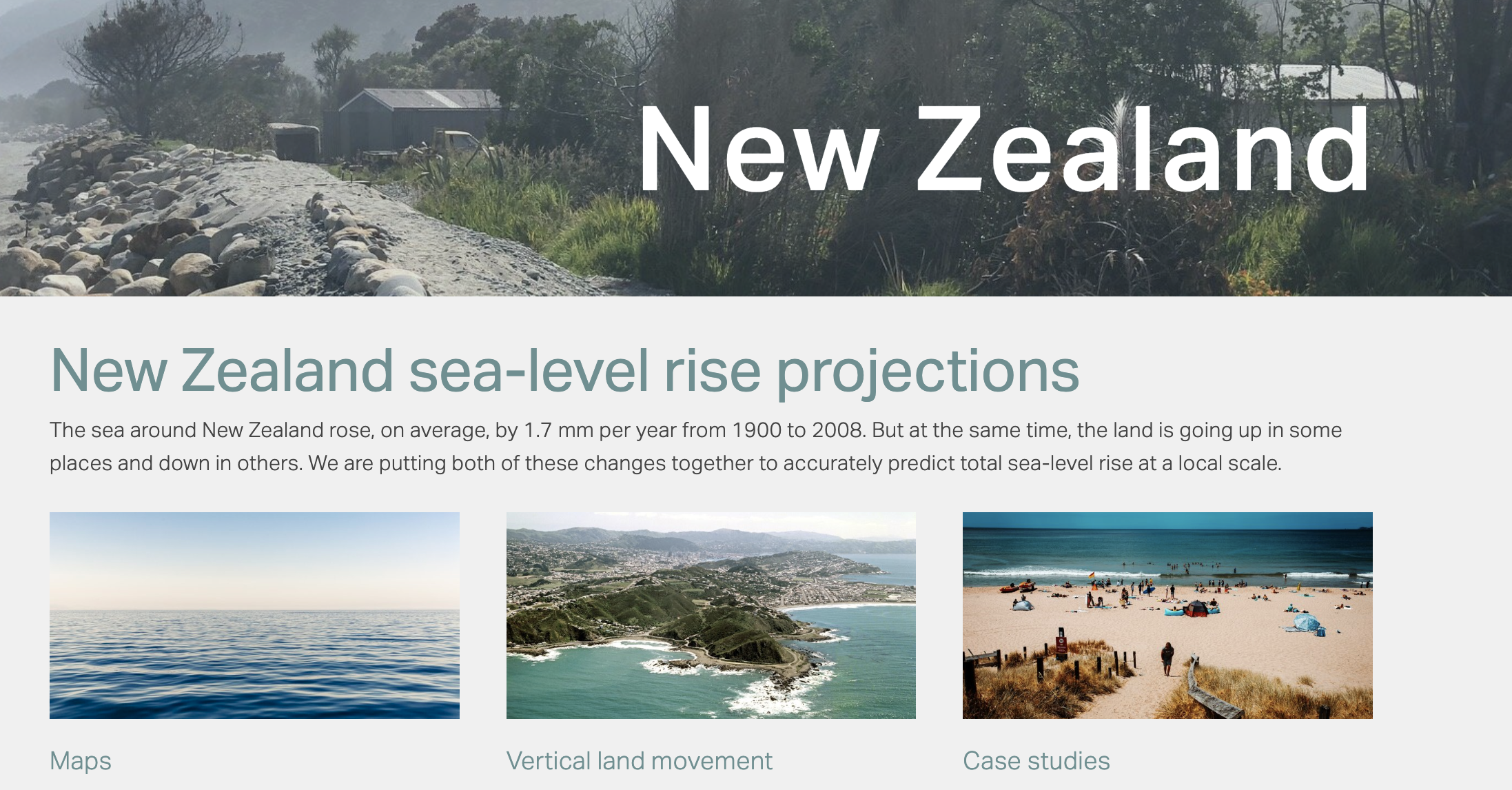
New Zealanders can now see how sea level rises will affect them, with the release of special maps by NZ SeaRise, a research programme funded by the Ministry of Business, Innovation and Employment.
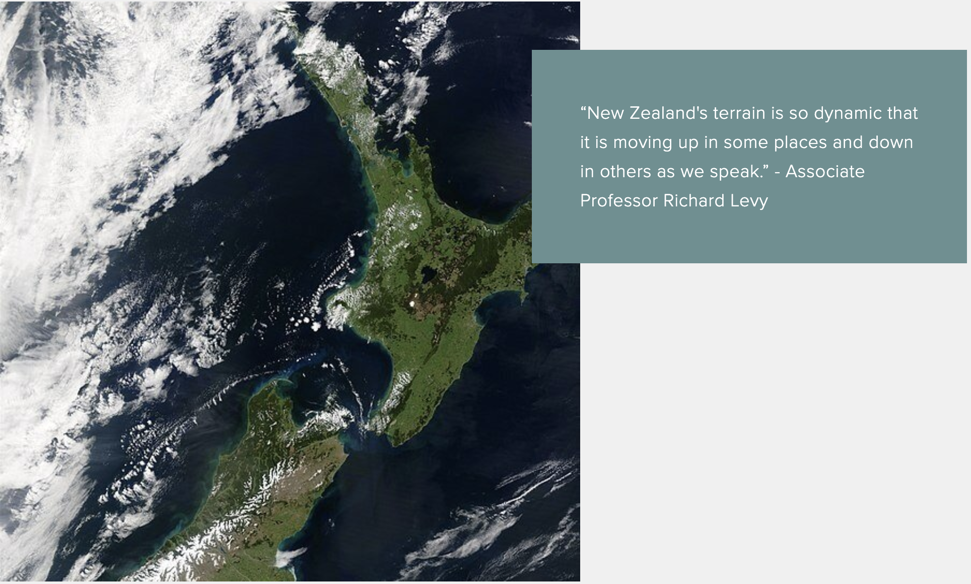
SeaRise scientists say sinking land and rising ocean levels could mean twice as much coastline is swallowed by water than previously thought, and in a much shorter time frame. They’ve mapped sea level rise for every 2km around the country’s coastline. The data will be crucial for local and national governments as they work out climate change strategies.

Thames - Coromandel highway after the 2018 storm surge. This work is licensed under a Creative Commons Attribution 4.0 International License
“Property owners, councils, infrastructure providers and others need to know how sea-level will change in the coming decades so that they can consider how risks associated with flooding, erosion and rising groundwater will shift,” said Dr Richard Levy, from GNS Science and Te Herenga Waka: Victoria University of Wellington, and co-leader of the NZ SeaRise programme.
“Twenty years ago we thought sea-level rise was like pouring water into a bathtub – if you put more water in, it rises uniformly around the world. But it’s much more complicated,” said Professor Tim Naish from Te Herenga Waka: Victoria University of Wellington, co-leader of the programme.
The NZ SeaRise projections tool allows users to click on a particular location on the coast and see how much sea-level is expected to rise, and by when, under different climate change scenarios.
This work is licensed under a Creative Commons Attribution 4.0 International License
“We have estimated future sea-levels for 7,434 sites around our coastline. The largest increases in sea-level will occur along the southeast North Island along the Wairarapa Coast. Here, land subsidence rates are high and sea-level could rise by well over one and a half metres by 2100 if we follow the least optimistic climate change scenario,” said Dr Levy.
“In contrast, land is rising near Pikowai in the Bay of Plenty and uplift rates may keep pace with climate change driven sea-level rise, causing a small fall in sea-level if we follow the most optimistic climate scenario.”
Based on current international emissions reduction policies, global sea-levels are expected to rise about 0.6 m by 2100. “However for large parts of Aotearoa this will double to about 1.2 m due to ongoing land subsidence,” said Professor Naish. “We have less time to act than we thought.”
“We know that global sea-level rise of 25-30 cm by 2060 is baked in and unavoidable regardless of our future emissions pathway. But what may be a real surprise to people is that for many of our most populated regions, such as Auckland and Wellington, this unavoidable rise is happening faster than we thought. Vertical land movements mean that these changes in sea-level may happen 20 to 30 years sooner than previously expected,” said Dr Levy.
“For many parts of New Zealand’s coast 30 cm of sea-level rise is a threshold for extreme flooding, above which the 100-year coastal storm becomes an annual event.”
“We hope everyone takes a good look at the mapping tool at,” says Dr Levy, ”but we expect councils and planners will be the primary users. The finance and insurance sector have already been asking for the data – in part driven by the Task Force on Climate Related Financial Disclosures reporting requirements that need to be met by 2024.”
Sea-level rise can be kept to a minimum by enacting policies to meet Paris Agreement targets to limit global warming by 2100 to between 1.5 to 2°C, the scientists say.
“The severity with which we will experience sea-level rise, and other impacts of climate change can be lessened if we do all we can to limit warming by reducing emissions now. The sooner we act, the more effective that action will be,” said Professor Naish.
“To be forewarned is to be forearmed, and this new science gives us the time and opportunity to put in place equitable and effective adaptation measures that will limit the impact of unavoidable sea-level rise for the people of Aotearoa.”
NZ SeaRise is a five-year research programme funded by the Ministry for Business, Innovation and Employment Endeavour Fund. It brings together 30 local and international experts from Te Herenga Waka-Victoria University of Wellington, GNS Science, NIWA, University of Otago and the Antarctic Science Platform to improve projections of sea-level rise in Aotearoa New Zealand. The sea-level projection and mapping tool was developed by Takiwā, a Māori-owned data management and analytics platform.